Escondido Canyon
Rockhounding site in California, California · Geodes
Escondido Canyon is a geode rockhounding site near California, CA. Fee varies. Best season: October through April.
Typical season: October through April
About Escondido Canyon
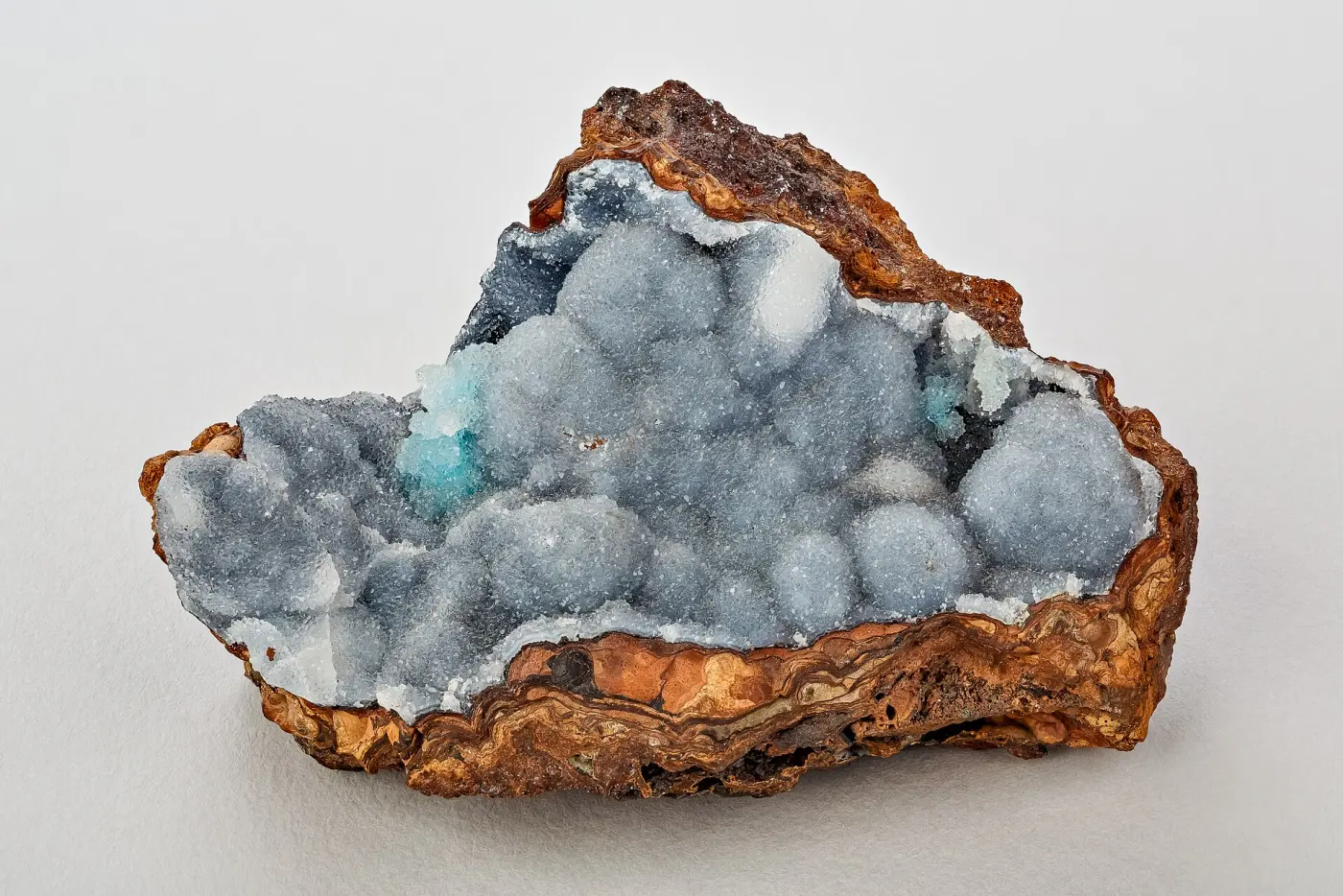
This Escondido Canyon listing refers to the mineral locality west of Acton in Los Angeles County, not the waterfall trail at Escondido Canyon Park in Malibu. Historic California collecting guides report amethyst geodes, banded and green moss agate, bloodstone, and jasper from the Acton-area canyon and surrounding hills.
Treat those names as reported targets rather than a promise of easy finds. Material may occur as weathered fragments in washes and hillside float, and access can change with parcel ownership or mining claims.
The distinction between the two Escondido Canyons matters: Malibu’s park is a protected recreation destination where removing natural material is inappropriate. Use the coordinates and land-status research, not the shared place name, to plan this trip.
Key facts
Structured details for trip planning — verify access and fees with the land manager before you visit.
- Specimen type
- Geode
- Primary specimens
- Amethyst Geodes, Banded Agate, Moss Agate, Bloodstone, Jasper
- Fee status
- Fee varies
- Nearest town
- California
- State
- California
- Coordinates
- 34.49899, -118.25823
- Best season
- October through April; avoid exposed canyon terrain during extreme heat or flash-flood weather
- Access difficulty
- Moderate; rough desert foothill terrain with uncertain parcel boundaries and no designated collecting trail
- Collecting hazards
- Flood / current risk
- Camping
- Use established campgrounds; do not assume roadside or canyon camping is permitted
- Land manager
- Bureau of Land Management
- Activities
- Surface prospecting for agate, jasper, chalcedony, and geode fragments where collecting is legally allowed
- Facilities
- No on-site facilities; fuel, water, and services are available in Acton and Agua Dulce
- Last updated
- 2026-08-16
What to pack for Escondido Canyon
Gear we compare for geodes trips like this one — tools, safety, and the hike in.


Disclosure: Gear links may earn a commission as an Amazon Associate — at no extra cost to you. Learn more.
The experience
- Best time to visitOctober through April; avoid exposed canyon terrain during extreme heat or flash-flood weather
- AccessModerate; rough desert foothill terrain with uncertain parcel boundaries and no designated collecting trail
- FacilitiesNo on-site facilities; fuel, water, and services are available in Acton and Agua Dulce
- Camping nearbyUse established campgrounds; do not assume roadside or canyon camping is permitted
Highlights & features
- Historic collecting reports for amethyst geodes and several agate varieties
- Acton-area locality in the Antelope Valley foothills
- Banded agate, moss agate, bloodstone, and jasper reported together
- Important distinction from the no-collecting recreation park in Malibu
- Mapped west of Acton near 34.499, -118.258
- Mixed chalcedony and jasper targets in weathered hillside and wash material
- Close to the better-known Tick Canyon mineral district
How to get there
The reference point is west of Acton near 34.499, -118.258 in the Antelope Valley foothills. Approach from the Acton area and confirm every road on a current public-land map before turning off maintained pavement. The pin does not identify a legal parking space. Do not cross a gate, private drive, fence, or posted boundary. Download offline maps because foothills can block mobile coverage.
The reference point is west of Acton near 34.499, -118.258 in the Antelope Valley foothills. Approach from the Acton area and confirm every road on a current public-land map before turning off maintained pavement.
The pin does not identify a legal parking space. Do not cross a gate, private drive, fence, or posted boundary. Download offline maps because foothills can block mobile coverage.
Plan your visit
Plan a reconnaissance trip during cool weather. Bring a hand lens, gloves, eye protection, sturdy boots, water, sun protection, and a land-status map. Surface-search loose wash gravel and weathered float only where the land manager allows collecting.
Nearby Acton and Agua Dulce are the last practical stops for fuel and water. Tell someone your route and return time, and leave before afternoon heat or storm cells build.
Things you need to take to Escondido Canyon

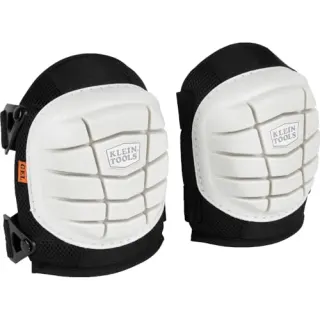
NoCry Professional Construction Knee Pads
Buy once — your knees will notice by lunch.
Check price on Amazon
DEWALT DPG82 Concealer Safety Glasses
Buy two pairs — one lives in your pack permanently.
Check price on Amazon
Osborn 8-Piece Wire & Nylon Brush Set
The standard field brush kit — keep one in every pack.
Check price on Amazon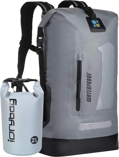
Osprey Talon 22 Backpack
The pack to save for if you collect more than a few times a year.
Check price on AmazonDisclosure: Gear links may earn a commission as an Amazon Associate — at no extra cost to you. Learn more.
Access & fees
The listing is an occurrence point, not an access permit. Check whether the exact ground is public, private, claimed, or restricted. The BLM’s rock-collection guidance generally allows reasonable noncommercial hand collecting on eligible BLM land, but excludes developed recreation sites, active claims, private mineral estates, and locally restricted areas. If ownership is unclear, do not collect. Avoid mechanized tools and significant excavation, and never enter an old mine opening.
The listing is an occurrence point, not an access permit. Check whether the exact ground is public, private, claimed, or restricted. The BLM’s rock-collection guidance generally allows reasonable noncommercial hand collecting on eligible BLM land, but excludes developed recreation sites, active claims, private mineral estates, and locally restricted areas.
If ownership is unclear, do not collect. Avoid mechanized tools and significant excavation, and never enter an old mine opening.
Frequently asked questions
What can you find at Escondido Canyon near Acton?
Regional collecting guides report amethyst geodes, banded and moss agate, bloodstone, and jasper in the Escondido Canyon area west of Acton. These are occurrence reports, not a guarantee that the material remains abundant or accessible.
Is this the Escondido Canyon waterfall in Malibu?
No. This rockhounding locality is near Acton in the Antelope Valley foothills at approximately 34.499, -118.258. Escondido Canyon Park in Malibu is a separate recreation area where visitors should not remove rocks or natural features.
Is Escondido Canyon open to rock collecting?
Access must be checked parcel by parcel. Public-land casual collecting may be allowed in some places, but developed recreation sites, private land, active claims, and restricted areas are excluded. Confirm the mapped point with the managing agency and a current land-status map.
When is the best time to visit the Acton locality?
Cool, dry days from October through April are generally safest. Avoid extreme heat, carry more water than expected, and stay out of washes when rain or thunderstorms could produce flash flooding.
Explore related hubs
Report an access change
Field conditions change. If this site is closed, claimed, flooded, or the fee has changed, tell us — we update listings with community tips and desk verification.
Include the date you visited and any land-manager contact. Do not share private gate codes.
Map & location
Culture & history
The Acton and Tick Canyon region has a long history of small mineral prospects and lapidary collecting. Older locality lists often record a canyon name without modern parcel detail, which is why present-day land verification is essential.
Conservation
Use existing roads and durable surfaces, keep any lawful take modest, and refill shallow hand-dug holes. Do not cut vegetation, disturb wildlife habitat, or leave broken glass-like rock chips where people or animals travel.
Sources & updates
Official land managers cited on this page
Always confirm current rules, closures, and fees on the agency site before visiting.
Spotted outdated access, fees, or safety info? Use Report an access change on this page or send a correction with the page URL — we review every submission.