
Moclips
Rockhounding site in Washington, Washington · Agate & Jasper
Moclips is a agate rockhounding site near Washington, WA. Fee varies. Best season: November through March.
Typical season: November through March
About Moclips
Moclips sits on the Washington coast in northern Grays Harbor County, at the northern end of the beaches open for general public use before Quinault Indian Nation land begins. The beach here was historically known as Agate Beach, and it remains one of the better-known agate stretches on the Washington shore, part of the Mocrocks section within the state's Seashore Conservation Area.
What makes coastal agate hunting different from inland collecting is that nothing here is in place. The agates, jaspers and chalcedony pebbles arrive as rounded beach material, transported along the shore and polished by surf, and they concentrate in gravel lenses that appear and vanish as storms move sand. A stretch that was bare sand in August can be ankle-deep in pebbles in January, and the other way round.
That seasonality sets the strategy. Winter storms strip sand, expose gravel and effectively restock the beach every year, so the productive window runs from November through March. The searching itself is easy, flat walking suited to families and beginners, and the main skill is learning to read wet gravel on a falling tide.
Key facts
Structured details for trip planning — verify access and fees with the land manager before you visit.
- Specimen type
- Agate
- Primary specimens
- Agate, Jasper, Chalcedony, Petrified Wood
- Fee status
- Fee varies
- Nearest town
- Washington
- State
- Washington
- Coordinates
- 47.26993, -124.23080
- Best season
- November through March. Winter storms strip sand and expose the gravel lenses where agates concentrate; search on a falling tide toward low water
- Access difficulty
- Easy walking on flat beach, but timing and cold are the real factors. Storm-season beachcombing means wind, rain and short daylight
- Collecting hazards
- See safety tips
- Camping
- Pacific Beach State Park and private campgrounds operate along this stretch of the Washington coast
- Land manager
- State park / recreation agency
- Activities
- Beachcombing gravel lenses and tideline gravel for agate and jasper pebbles
- Facilities
- Moclips and nearby Pacific Beach have lodging, food and restrooms. Nothing on the beach itself
- Last updated
- 2026-09-15
What to pack for Moclips
Gear we compare for agate & jasper trips like this one — tools, safety, and the hike in.


Disclosure: Gear links may earn a commission as an Amazon Associate — at no extra cost to you. Learn more.
The experience
- Best time to visitNovember through March. Winter storms strip sand and expose the gravel lenses where agates concentrate; search on a falling tide toward low water
- AccessEasy walking on flat beach, but timing and cold are the real factors. Storm-season beachcombing means wind, rain and short daylight
- FacilitiesMoclips and nearby Pacific Beach have lodging, food and restrooms. Nothing on the beach itself
- Camping nearbyPacific Beach State Park and private campgrounds operate along this stretch of the Washington coast
Highlights & features
- Historically known as Agate Beach, and still one of the better-known agate stretches on the Washington coast
- Part of the Mocrocks beach stretch within Washington's Seashore Conservation Area
- Winter storms renew the gravel, so the beach effectively restocks itself each season
- Free public access below the high tide line
- Easy, flat searching that suits families and beginners
- Agates here arrive as rounded beach pebbles rather than as nodules in bedrock, transported and polished by surf
- Material concentrates in gravel lenses that appear and disappear as storms move sand along the shore
- Wet pebbles reveal translucency that is invisible once they dry, so the tideline is the productive zone
How to get there
Moclips is on Washington State Route 109, the coastal road running north from Hoquiam and Aberdeen through Ocean Shores, Copalis Beach and Pacific Beach. The roads are paved throughout and easy in any vehicle. Note that some Washington coastal beaches permit vehicle driving on the sand in designated seasons and areas while others do not, so check current rules for the Mocrocks stretch rather than assuming, and be aware that soft sand strands vehicles regularly on this coast.
From Aberdeen, follow SR-109 northwest roughly 40 miles. Moclips is the last community on the route before the Quinault Indian Nation boundary, and beach access points are signed along the way through Pacific Beach and Moclips itself.
Plan your visit
Plan around the tide, not the clock. Arrive two hours before low tide and work the falling water, which exposes the widest band of gravel and keeps everything wet enough to read.
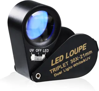
Bring a small bucket or a mesh bag, a spray bottle if you want to check dry pebbles up the beach, waterproof boots, rain shell and warm layers. Polarised sunglasses cut surface glare on wet gravel and genuinely help. A hand lens is worth having to separate agate from ordinary quartz pebbles.
Timing: November through March, on a falling tide. Facilities: lodging, food and restrooms in Moclips and Pacific Beach; nothing on the beach.
Walk the gravel lenses rather than the open sand, look for translucency against the light rather than for colour, and pick up and wet anything that looks glassy. Pacific Beach State Park is a practical base, and the trip combines well with other Washington coastal sites.
Things you need to take to Moclips
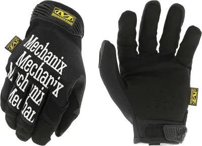
Mechanix Work Gloves with Grip
The default glove for collectors who need feel and protection.
Check price on Amazon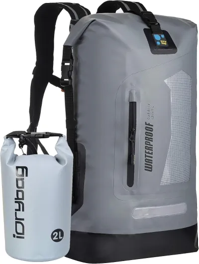
Osprey Talon 22 Backpack
The pack to save for if you collect more than a few times a year.
Check price on Amazon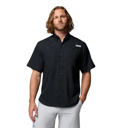
Willit UPF 50+ Sun Shirt UPF 50+
The best all-around sun shirt for rockhounding sites — light enough to collect at, dry enough to hike out in.
Check price on Amazon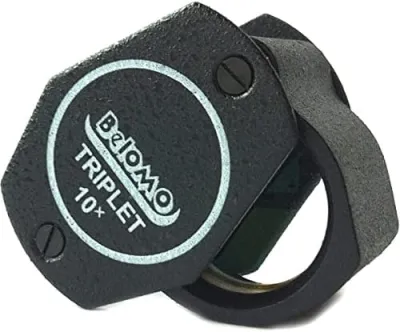
BelOMO 10x Triplet Loupe
The loupe to buy once and carry for decades.
Check price on AmazonDisclosure: Gear links may earn a commission as an Amazon Associate — at no extra cost to you. Learn more.
Access & fees
Washington's ocean beaches below the high tide line are public, and collecting reasonable personal quantities of loose beach pebbles is generally accepted along this coast. The Moclips beach lies within the Seashore Conservation Area, and the Mocrocks stretch has its own management rules including seasonal vehicle and razor clam regulations. Washington's Department of Natural Resources makes the general point that each landowner sets its own rules for collecting activities, which is exactly the situation on this coast, where state parks, the Seashore Conservation Area, county land and tribal land sit close together. The boundary that matters most here is the Quinault Indian Nation land immediately north of Moclips. That is sovereign tribal land with its own access rules and is not open for casual beachcombing. Stay south of the boundary, stay off private beachfront above the high tide line, take a modest amount rather than buckets, and leave drift logs, wildlife and shellfish beds alone.
Washington's ocean beaches below the high tide line are public, and collecting reasonable personal quantities of loose beach pebbles is generally accepted along this coast. The Moclips beach lies within the Seashore Conservation Area, and the Mocrocks stretch has its own management rules including seasonal vehicle and razor clam regulations.
Washington's Department of Natural Resources makes the general point that each landowner sets its own rules for collecting activities, which is exactly the situation on this coast, where state parks, the Seashore Conservation Area, county land and tribal land sit close together.
The boundary that matters most here is the Quinault Indian Nation land immediately north of Moclips. That is sovereign tribal land with its own access rules and is not open for casual beachcombing. Stay south of the boundary, stay off private beachfront above the high tide line, take a modest amount rather than buckets, and leave drift logs, wildlife and shellfish beds alone.
Frequently asked questions
Can you collect agates at Moclips Beach?
Yes. Washington's ocean beaches below the high tide line are public, and picking up loose agate and jasper pebbles in reasonable personal quantities is generally accepted along this stretch. The beach is within the Seashore Conservation Area, so check the Mocrocks stretch rules, and stay south of the Quinault Indian Nation boundary.
When is the best time to find agates at Moclips?
November through March, on a falling tide. Winter storms strip sand and expose the gravel lenses where agates concentrate, effectively restocking the beach each season. Arrive about two hours before low tide and work the water down, because wet gravel is far easier to read than dry.
What can you find on the beach at Moclips?
Agate, jasper and chalcedony pebbles, with occasional petrified wood. All of it arrives as rounded beach material transported and polished by surf rather than in place in bedrock, and it concentrates in gravel lenses that shift position as storms move sand along the shore.
How do you spot an agate on a beach?
Look for translucency rather than colour. Hold a candidate pebble up against the light: agate glows where ordinary quartz and basalt pebbles stay opaque. Search the wet zone near the tideline, carry a spray bottle for checking dry pebbles higher up, and wear polarised sunglasses to cut glare.
Is Moclips beach safe for families?
The searching is easy, flat walking that suits beginners, but the Washington coast demands respect. Sneaker waves are a real hazard, drift logs roll in the swash, and winter beachcombing means cold, wind and short daylight. Check tides before you go and never turn your back on the surf.
What is the Seashore Conservation Area?
A Washington designation covering the state's ocean beaches, managed to keep them public while regulating uses such as vehicle access and razor clam harvest. Moclips sits within the Mocrocks stretch of it, which has its own seasonal rules worth checking before a visit.
Can you drive on the beach at Moclips?
Some Washington coastal beaches permit vehicle driving on the sand in designated seasons and areas while others do not, so check current rules for the Mocrocks stretch rather than assuming. Soft sand strands vehicles regularly on this coast, and a stuck car on a rising tide is a serious problem.
What is the difference between agate and jasper on the beach?
Translucency. Agate is chalcedony that transmits light, so it glows when held against the sky, while jasper is opaque chalcedony coloured by iron and other impurities. Both occur at Moclips, and the field test is the same for each: wet the pebble and hold it up to the light.
Are there razor clams at Moclips?
Yes, and the Mocrocks stretch is a popular razor clam beach with seasons set by Washington Department of Fish and Wildlife. Digs bring crowds and additional rules to the beach, so check the schedule if you want a quiet day of beachcombing or are planning to search at low tide.
Why is Moclips called Agate Beach?
Historically that is exactly what it was known as, dating from the era when the Northern Pacific railroad brought resort visitors to the Washington coast at the turn of the twentieth century. The agates are still there, concentrated in gravel lenses that storms expose and bury through the year.
When do beachcombers say is the best time to hunt Washington coast agates?
Winter, almost unanimously, and specifically on a falling tide after a storm. The reasoning people give is that summer sand buries the gravel lenses where agates concentrate, while winter storms strip that sand away and effectively restock the beach each season. The practical advice attached to it is to arrive around two hours before low tide and work the water down, dressing for cold and rain rather than for the forecast.
How do you tell an agate from a wet quartz pebble?
The test people describe is backlighting rather than surface appearance: hold the pebble up against the sky and look for light transmitting through it, since agate glows where basalt and most quartz pebbles stay opaque or milky. Collectors also mention the waxy surface lustre and conchoidal fracture as secondary clues, and note that polarised sunglasses help enormously by cutting glare on wet gravel.
Explore related hubs
Report an access change
Field conditions change. If this site is closed, claimed, flooded, or the fee has changed, tell us — we update listings with community tips and desk verification.
Include the date you visited and any land-manager contact. Do not share private gate codes.
Map & location
Culture & history
Moclips grew as a railroad resort at the turn of the twentieth century, when the Northern Pacific brought visitors to the Washington coast, and the name Agate Beach dates from that era of seaside tourism. The coast here is the ancestral and present-day home of the Quinault people, whose reservation begins immediately north of the village. The beaches south of that line have been managed as the Seashore Conservation Area since the mid-twentieth century, a designation that keeps them public while regulating uses such as vehicle access and razor clam harvest.
Conservation
Beach gravel is renewed by storms, which makes this a more forgiving resource than an inland deposit, but the rest of the beach system is not. Take a modest personal amount rather than filling buckets. Leave drift logs where they are, since they are habitat and are also the main hazard on this shore. Stay off dune vegetation and clam beds, keep dogs under control around shorebirds, and pack out all litter, which accumulates fast on a storm coast. Above all, respect the Quinault Indian Nation boundary north of Moclips.
Sources & updates
Official land managers cited on this page
Always confirm current rules, closures, and fees on the agency site before visiting.
Spotted outdated access, fees, or safety info? Use Report an access change on this page or send a correction with the page URL — we review every submission.